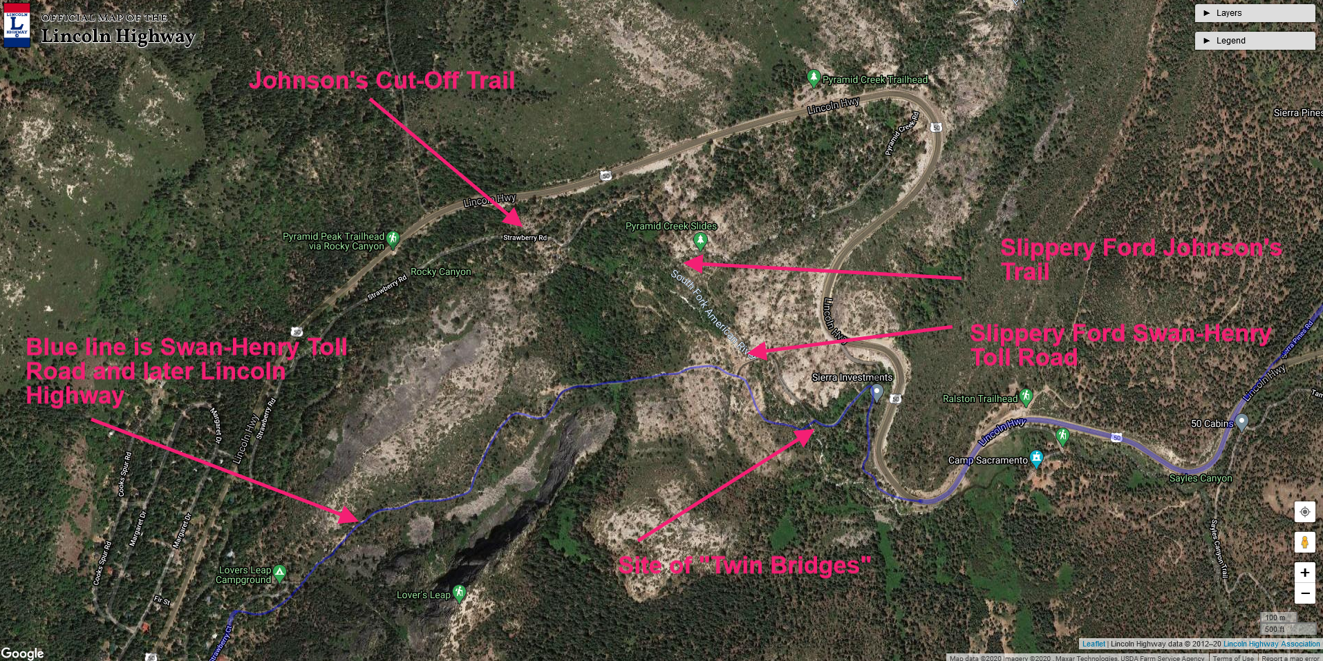
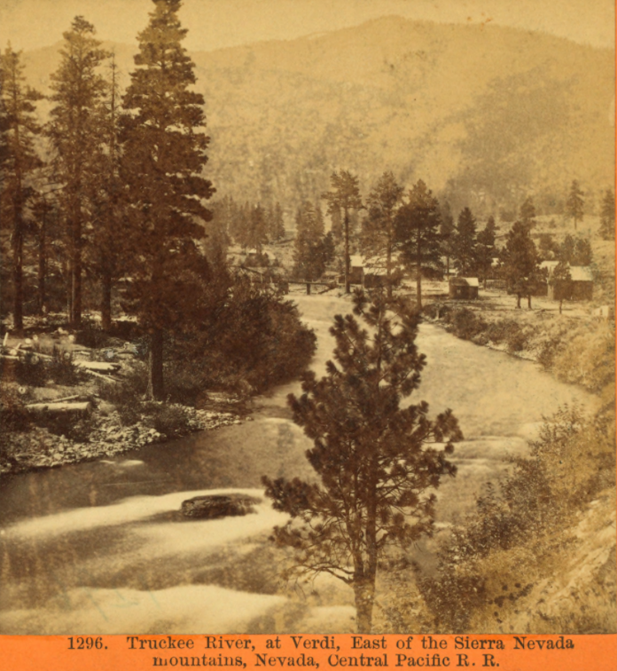
We are now on our way up Henness Pass Road, leaving Verdi and headed towards the “First Summit.” The First Summit is where the emigrants then descended to Dog Valley to camp and feed their animals. The Lincoln Highway does not head down to the valley but follows a ridge above the valley.
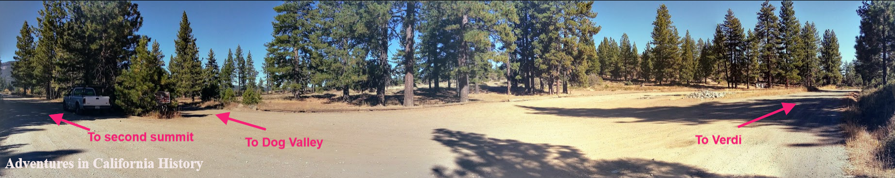
First summit. Click photo for larger view.
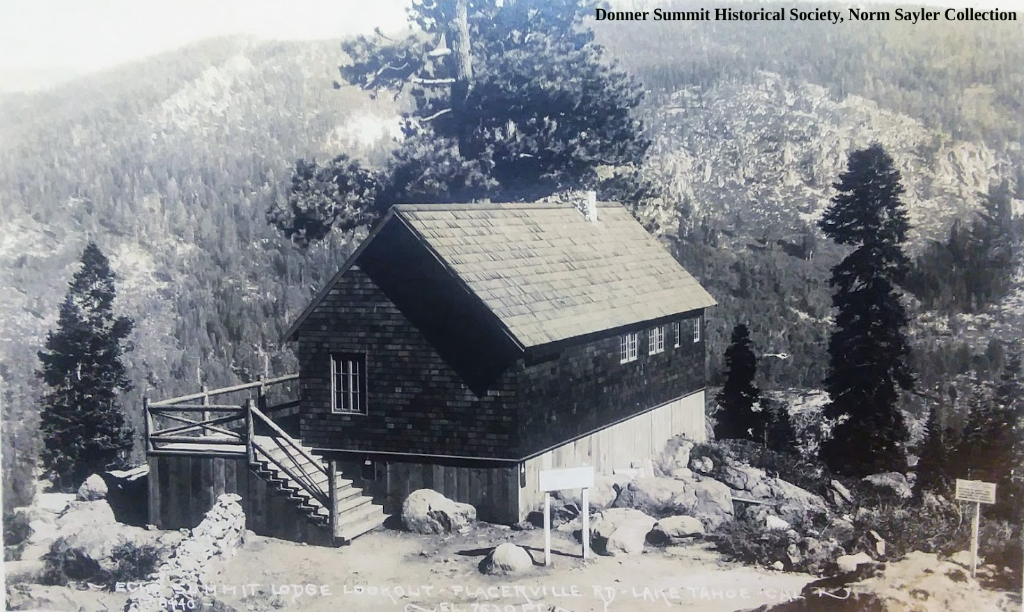
Here at First Summit was Bauer’s Hotel, 1865. I couldn’t find any more information on this hotel, nor could we see any hotel's physical signs. We always find it fascinating to think there was so much traffic on this road that hotels were needed every so often. Looking at the panorama photo above, we can see the Lincoln Highway headed towards the Second Summit, a road heading down to Dog Valley, the direction the emigrants traveled, and the road to Verdi.

Dog Valley as seen from the Lincoln Highway, looking north-east.
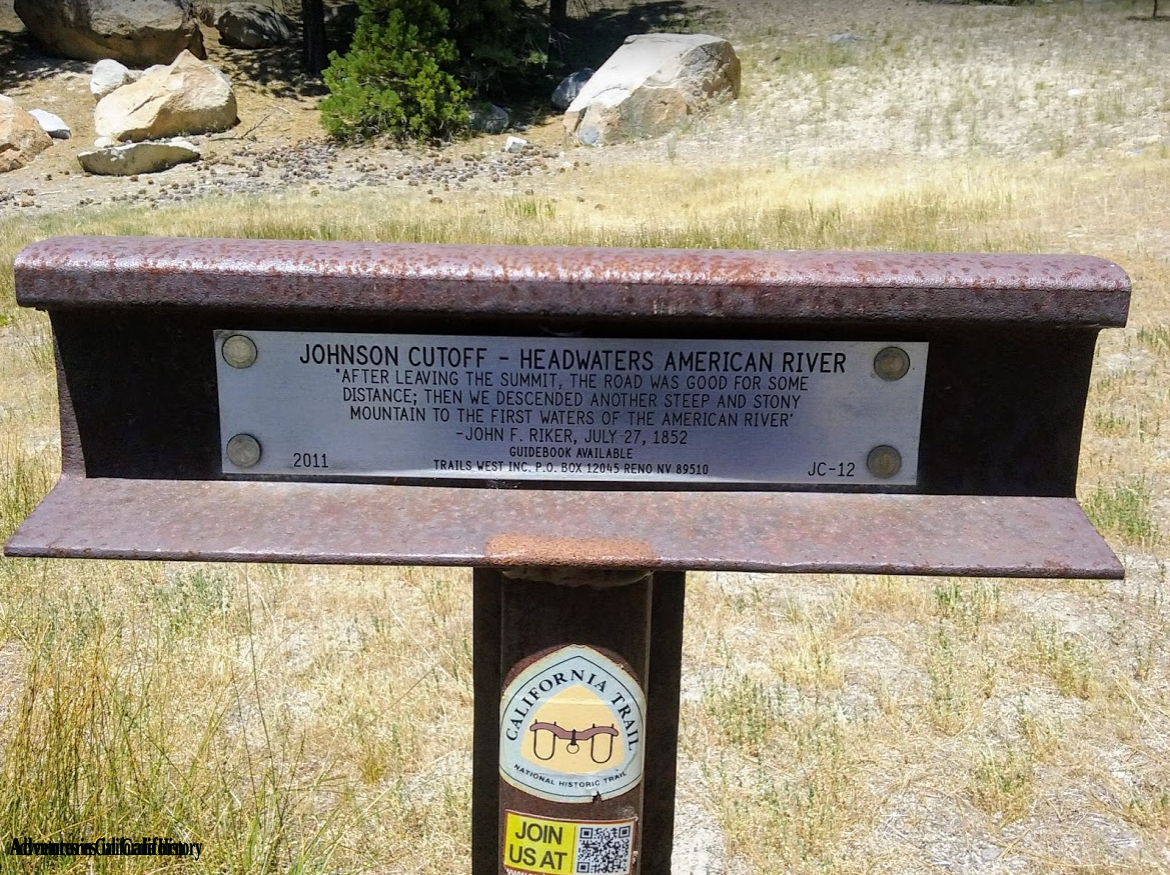
Just past the First Summit, we round a curve and the view of Dog Valley is spectacular. We intend to head down to the valley next year and check out a Trail West “T” Marker on the old trail through the valley the Emigrant Trail soon heads back up from the valley to what’s known as “Second Summit”. The Trails West “T” marker pictured below describes the scene.
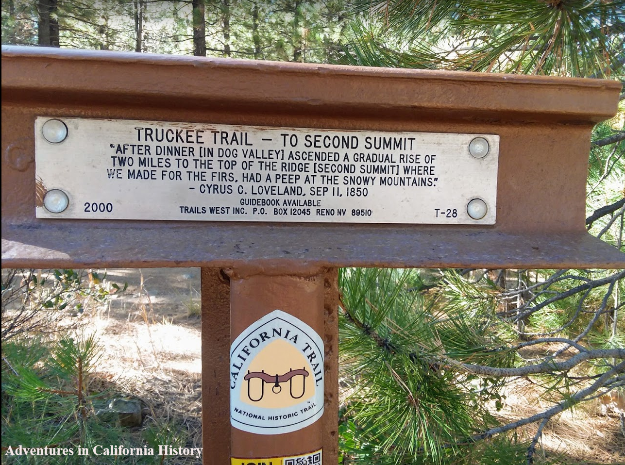
Trail West “T” marker at Second Summit. Click photo fro closer view.
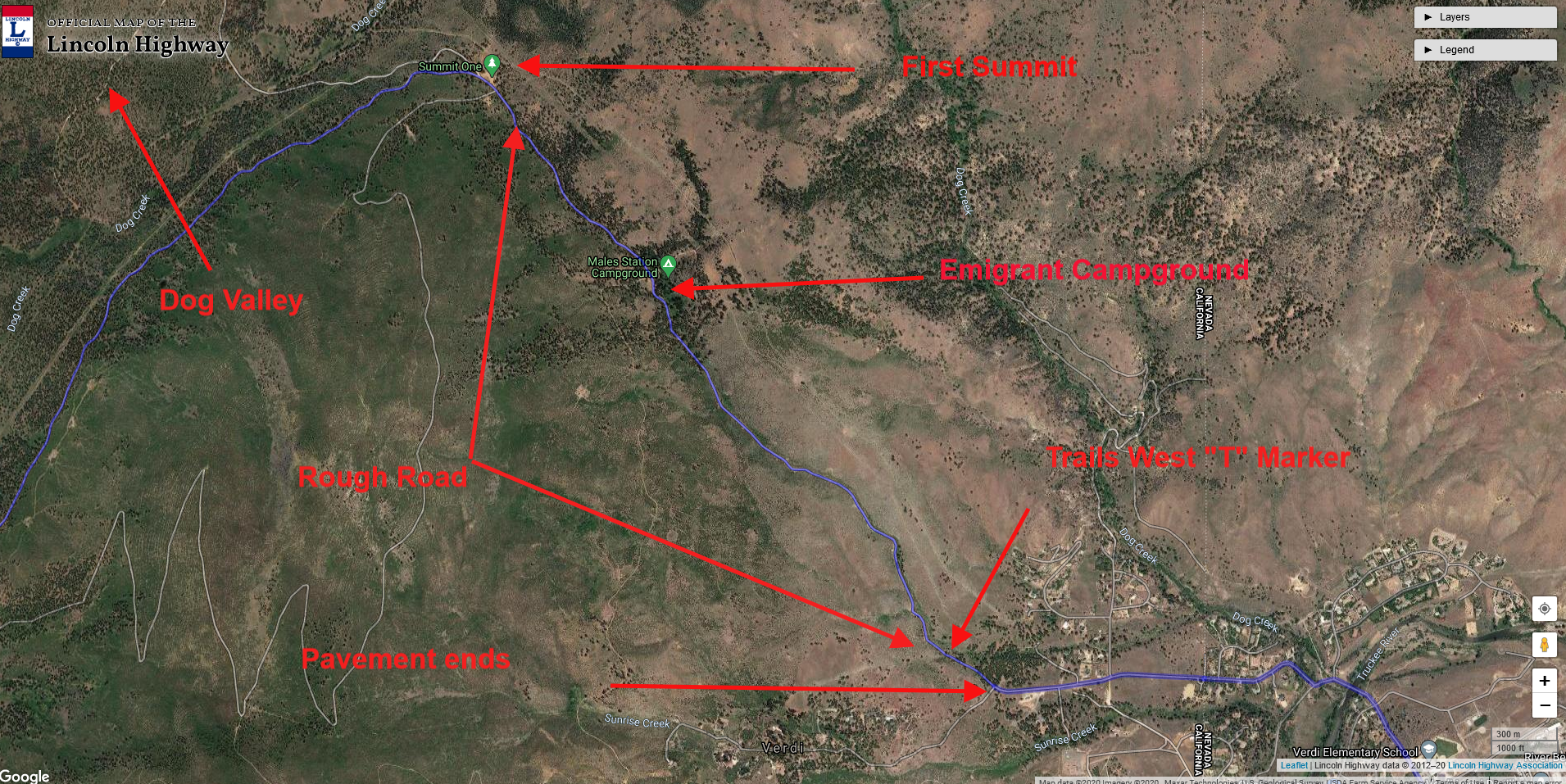
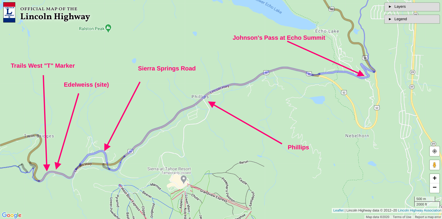
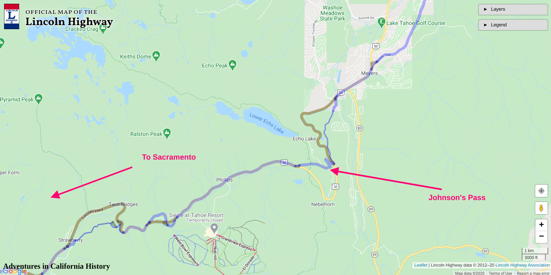
The road from Verdi to Prosser Reservoir is all dirt and fairly easy to travel. The first section up from Verdi to First Summit is a beautiful example of the “washboard effect”. Once at the summit the road is easy to drive, dusty in the summer, and not recommended in the winter. In the map below we can see a portion of the Lincoln Highway headed into Stampede Reservoir, which of course was not there during the early parts of the 20th Century. We will take up that portion of the adventure on our next installment of the Lincoln Highways northern route from Verdi, NV through California.
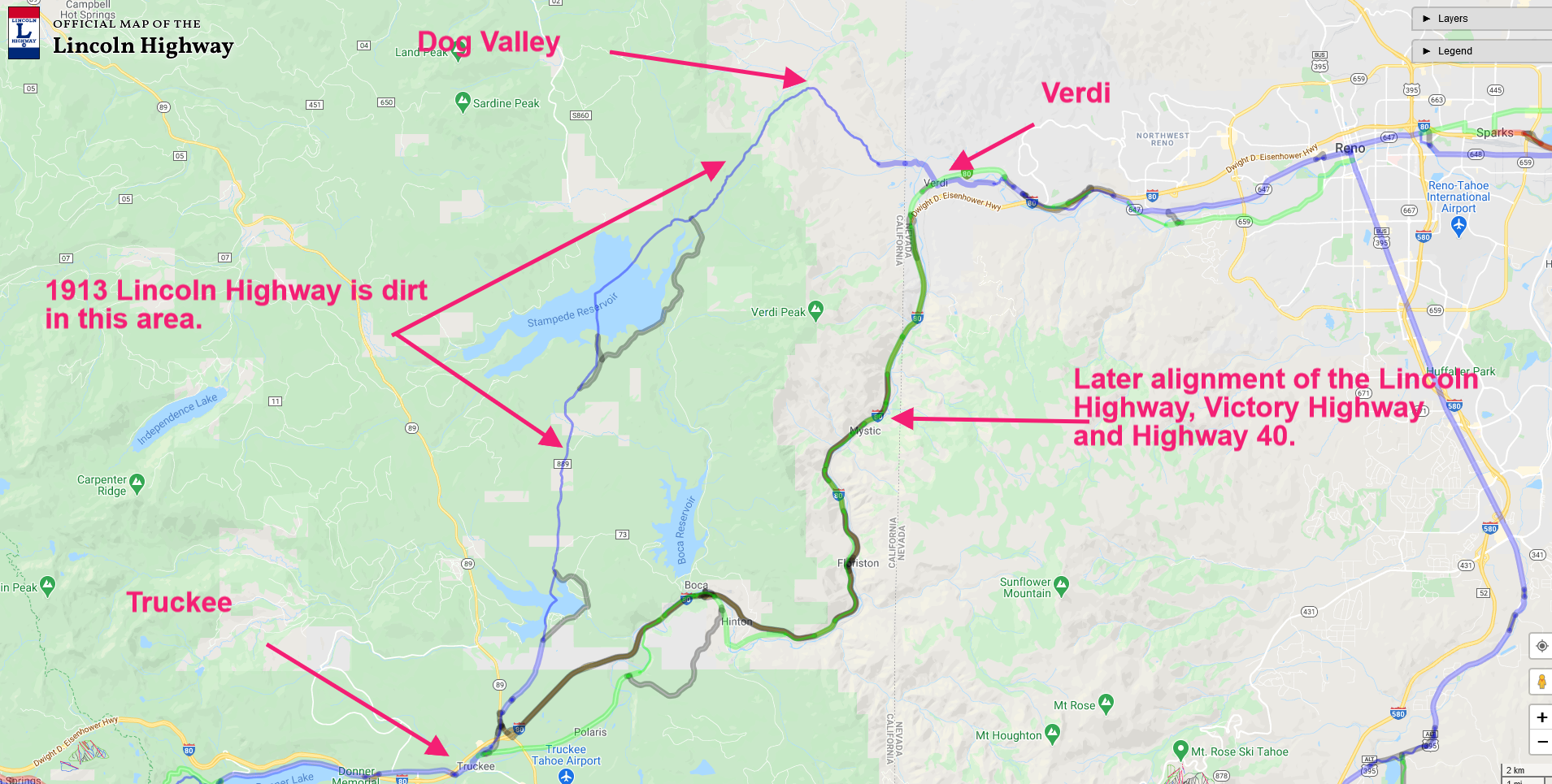
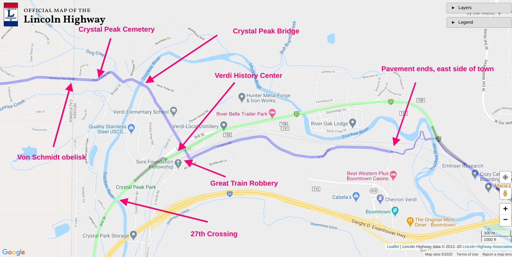
Map showing area and some key features. Click map for a closer view.
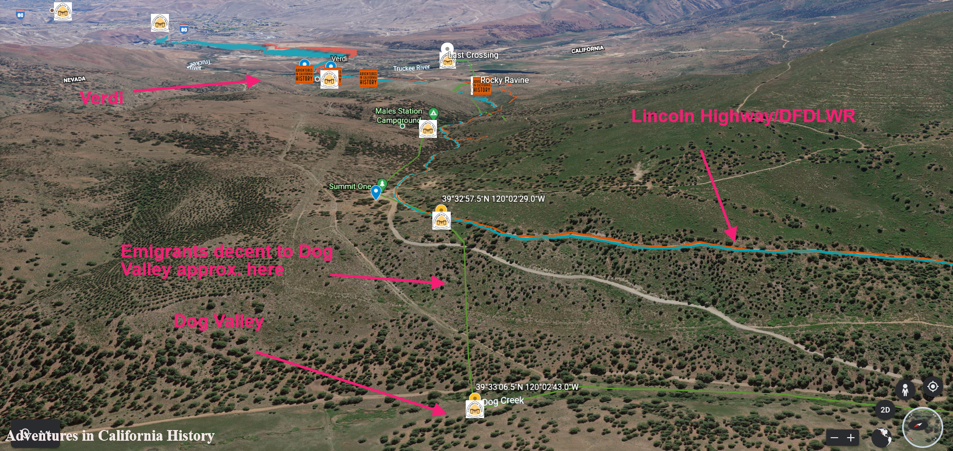
Satellite view showing Verdi off in the distance and the climb up to the first summit. Looking southeast. Click map for a closer view.