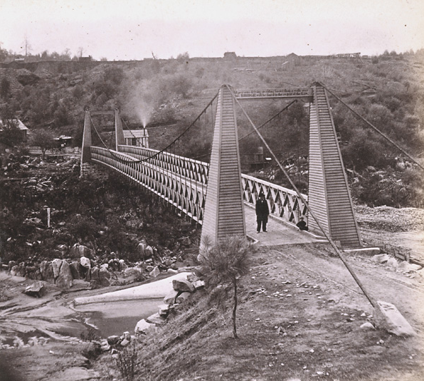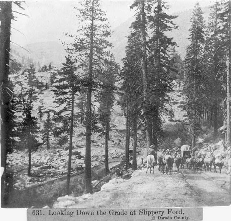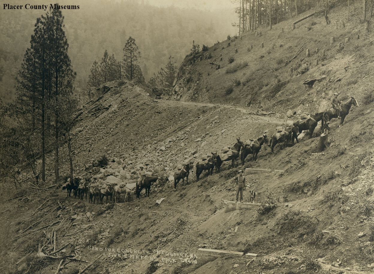
The Mountain Quarries Bridge and railroad were built in 1912 to bring limestone from the quarry to nearby Auburn. The construction that took place when animals worked alongside early 20th Century machines documented with this photo.
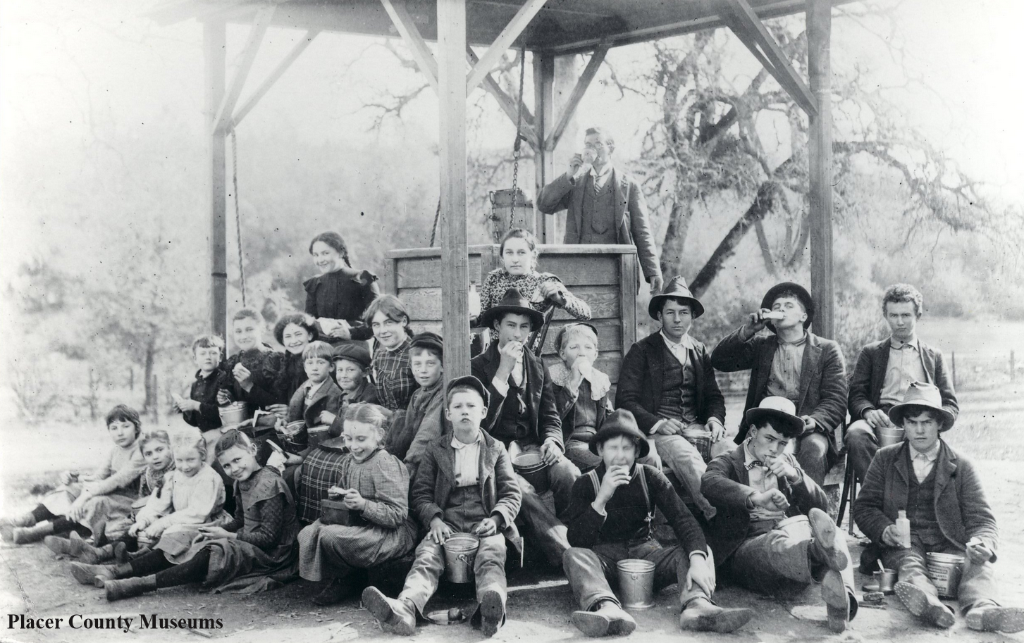
This photo looks like a mixed "pack train" of horses and mules. They are hauling sand for making concrete with teamster Charles Ray (on the lead horse). I counted 14 horses/mules, three men, and a dog, which can be seen in the close-up below.

A horse-mule pack train near Auburn and the Mountain Quarries Bridge, 1910. Photo from: Placer County Museums.
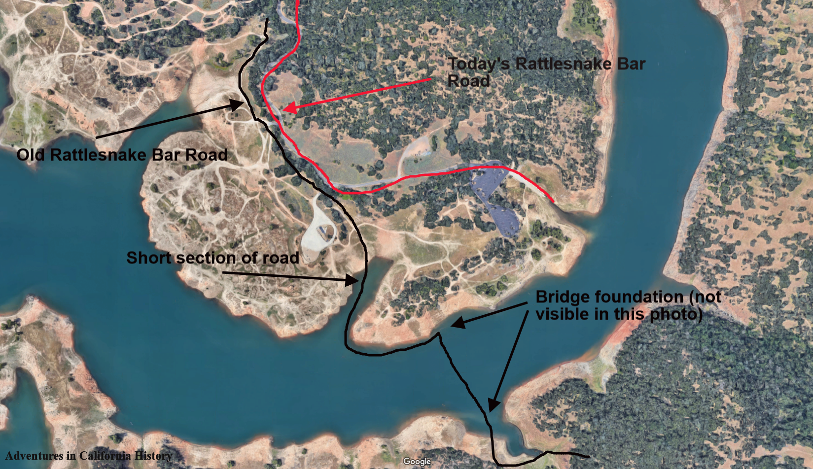
This spot looks familiar as we have hiked the Mountain Quarries Trail before. The concrete foundations seen in the photo are for a railroad trestle crossing, but not the Mountain Quarries Bridge. There are 17 places along the old railbed where they built trestles over canyons and sides of hills. We will try and take a photo of this spot next time we hike the trail.
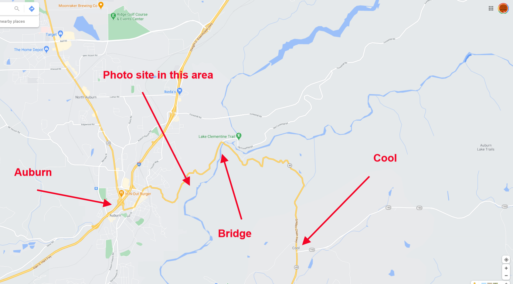
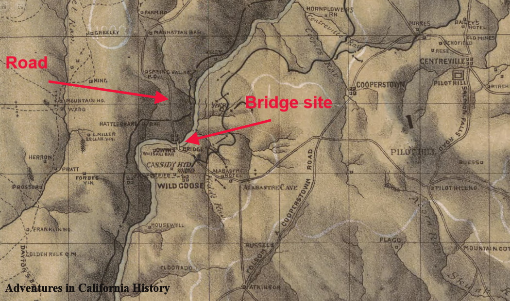
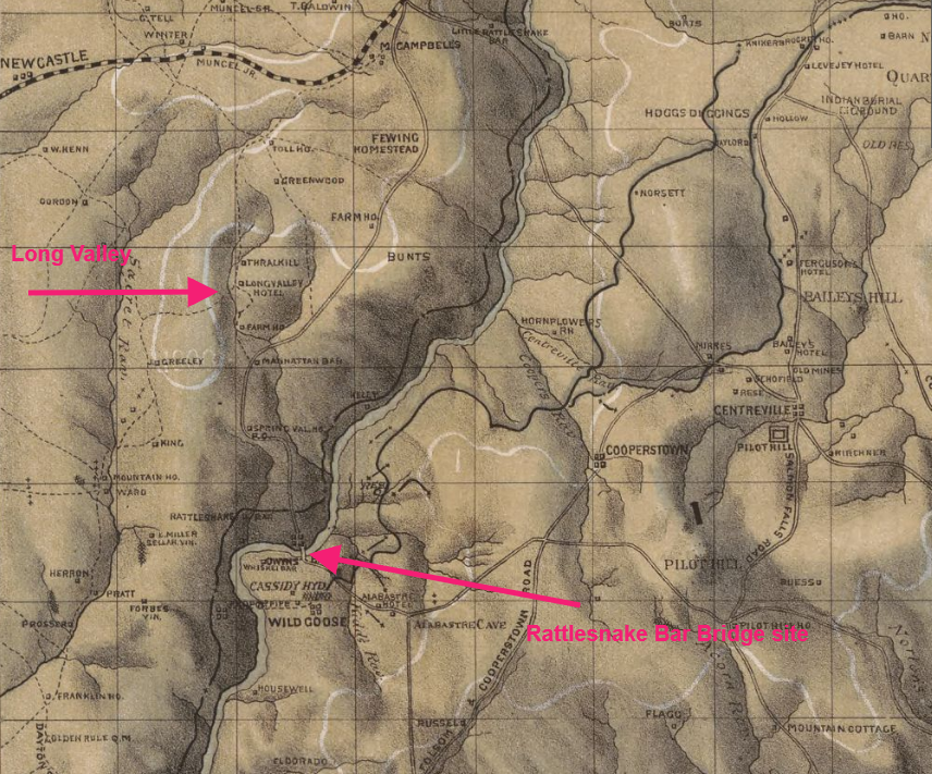
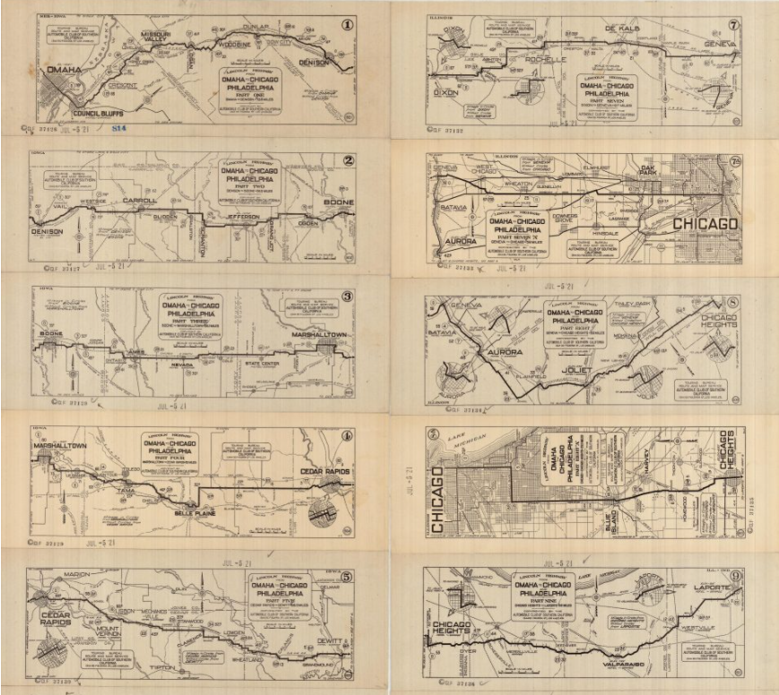
Map of the area. Click to see a closer view.