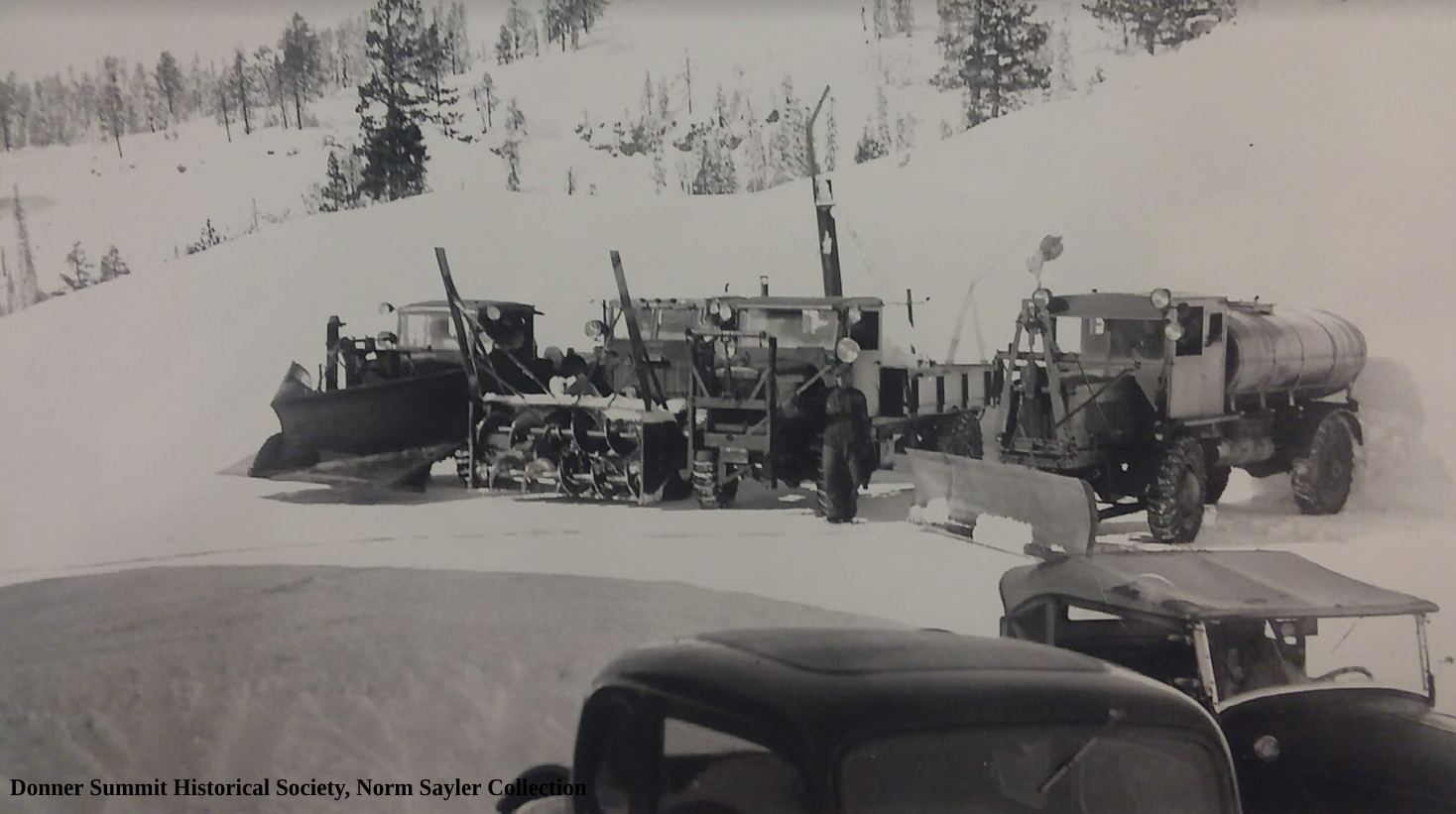
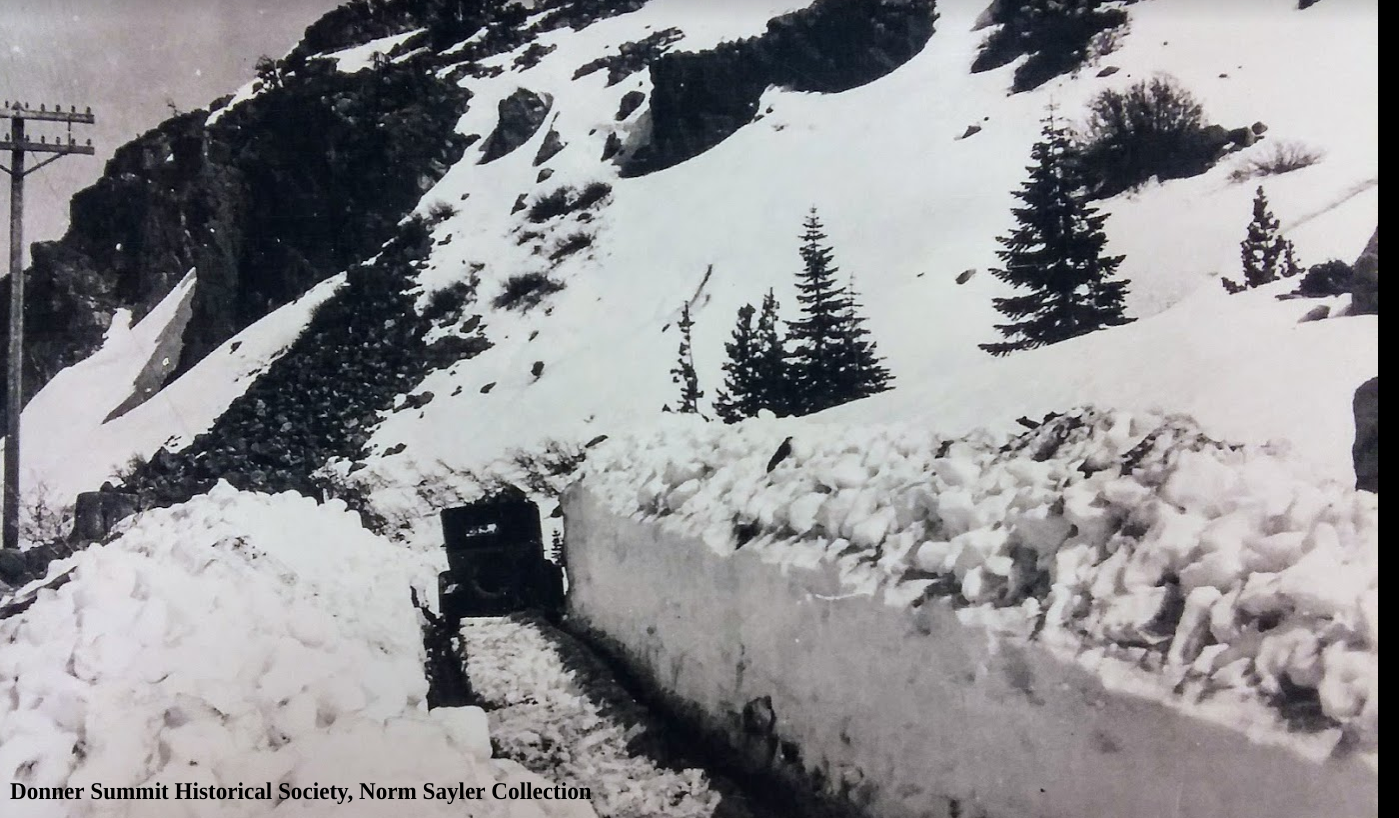
The photo shows an automobile traveling on the Lincoln Highway sometime after 1916 since it shows a large reservoir that almost touches the road. The original alignment of the Lincoln followed Lake Van Norden's northern side from Soda Springs at Highway 80, north of Lake Van Norden, to the now long gone Summit Hotel.
Traveling up the old Highway 40, today's Donner Summit Road, towards Soda Springs one passes Summit Valley off to the right. During the winter it's a snow-covered valley, but in spring with the snowmelt, it turns into Lake Van Norden. It was 1872 when a dam was built across the south fork Yuba River creating the lake. We are not sure why the dam was built, but for awhile the water stored was sent downstream to operate hydraulic mines. In 1886 hydraulic mining was outlawed, so the water was used to irrigate the rapidly growing Central Valley and foothill orchard industry.
In 1916 the Pacific Gas and Electric Company (PG&E) became the owner of the lake and enlarged it to a total of 5600-acre-feet. Every spring the lake would fill with snowmelt, and the slowly lowered during the summer to supply downstream uses. The lowering lake supported a large sheep industry that would use the grass that grew as food.
In 1976 the dam was found to be unsafe, so it was notched to allow less water to be stored. The new lake was only 150-acre-feet in size but still provided recreation and water for wildlife. In 2012 the lake was bought by the Truckee Donner Land Trust from failed developers. According to the Donner Summit Historical Society newsletter, "they inherited a problem because the developers had been told by the State to drain the lake to below fifty acre feet. The Land Trust wanted to sell the valley to the Forest Service which would not take the valley with any lake. The Land Trust did not entertain any other solutions and so opened the drain and completely drained the lake in 2015. If the Forest Service consummates the purchase their plan is to restore the dry meadow to what it was before there was any dam and no summer river." The Truckee Donner Land Trust sees the removal of the dam and lake as a win for the environment, which they detail here.


![Lake Van NordenGeorge Lamson [CC BY 3.0 (https://creativecommons.org/licenses/by/3.0)]](https://images.squarespace-cdn.com/content/v1/54402473e4b0a94c76765b74/1564666743933-K4KJCEOWY194A772KPOQ/Van_Norden_Lake_in_California.webm.jpg)


