
The following photographs go with our YouTube video, where Norm Sayler of the Donner Summit Historical Society describes to Trey what we are seeing. You can watch the video at the bottom of this post.

The above photograph shows the first snow removal equipment on Donner Pass. These vehicles didn’t work The Lincoln, but the early Highway 40, which followed the second-generation Lincoln Highway.
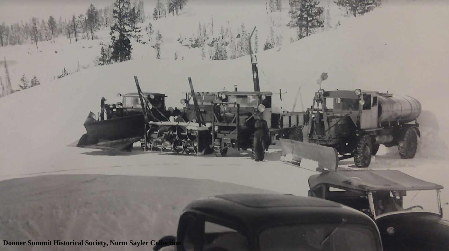
Another great photograph is showing the first snow removal equipment on Donner Summit.
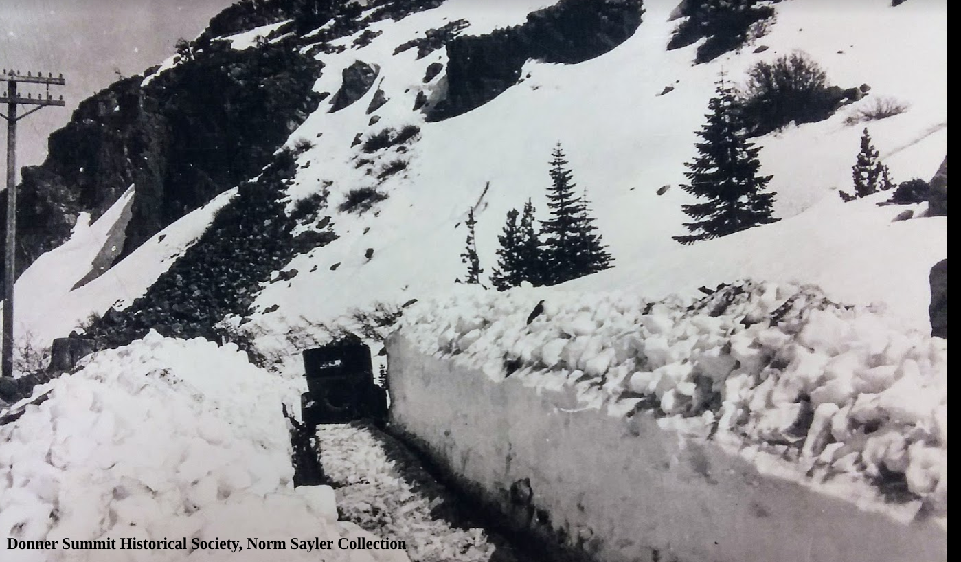
The above photo shows an automobile headed down the grade at Donner Summit. This photograph is before the snow removal equipment. The snow was hand dug by eager merchants and others who were looking for the first customer to come over the summit.

A fantastic shot of a couple of automobiles headed down into the auto subway under the Southern Pacific tracks next to the China Wall. The snow looks dirty as the very same people who hand-dug the snow would bring ash and coal dust to sprinkle on the snow in an attempt to help it melt faster.

This view is of the very beginning of the construction of The Rainbow Bridge. We are looking at the right abutment or approach to the bridge. You can see the railroad snow tunnels on the mountain behind. Notice the automobile on the road just before the abutment.

What looks like the Rainbow Bridge is the scaffolding for the new bridge. The actual height of the bridge will reach those two abutments we see towards the top of the photo.

Here is a cool photograph of the construction of the Rainbow Bridge. We can see the new bridge, the roads approaching, and if you look very closely at the very bottom right, you can see an automobile headed up by the small pond and using the original alignment of The Lincoln Highway since the bridge is not yet complete. Then small pond the car is passing was formed by the construction of the second-generation Lincoln, which blocked its outflow.

A beautiful postcard photograph is showing the newly completed second-generation Lincoln Highway bridge, complete with dirt approaches, which changed to asphalt when the road became Highway 40. The plaque pictured used to be at the lookout point near the bridge. It now rests at the Donner Summit Historical Society.