Strawberry House, there were two locations.

Driving up to Lake Tahoe on Highway 50, the Strawberry Lodge has been greeting visitors since Fred Baumhoff built it in 1939. What about the Strawberry House that greeted earlier travelers along the Swan-Henry Toll Road? Where Mr. Berry built the first Strawberry House has been a mystery to me. Perhaps someone in this group has the answer?

The third Strawberry House built in 1939 next to the present day Highway 50. UC Davis photo, Eastman collection:

The third Strawberry House built in 1939 next to the present day Highway 50. UC Davis photo, Eastman collection:

The present Highway 50 was built in the mid-1930s, bypassing the old Swan-Henry toll road, which also saw service as the first state highway, The Placerville-Lake Tahoe Wagon Road, then as the Lincoln Highway from 1914 to 1928, and finally an early version of Highway 50. It was along the old road that Irad Berry built the first two incarnations of the Strawberry House, the second after the first burned down. It was along this route that travelers would have to cross the fabled "Slippery-Ford" across the American River at TwinBridges. Once you forded the river, the next stop was the "Slippery Ford House," past Hank Monk Rock, and finally Strawberry House.

The Strawberry Valley House along the Swan-Henry Toll Road.

The Strawberry Valley House along the Swan-Henry Toll Road.

Where was the first Strawberry House located? Looking at a couple of older pictures, we see the sight appears much closer to "Lovers Leap" than it sits today, which makes sense since the old road passed directly under the famous cliff.

Here is a map showing the new and old roads up to Twin Bridges. The new Highway 50 of the mid-1930s is the blue line, which is the same route we follow today. The red line is the old road, which followed a course next to Lovers Leap.

screenshot-www.google.com-2019.11 (21).png

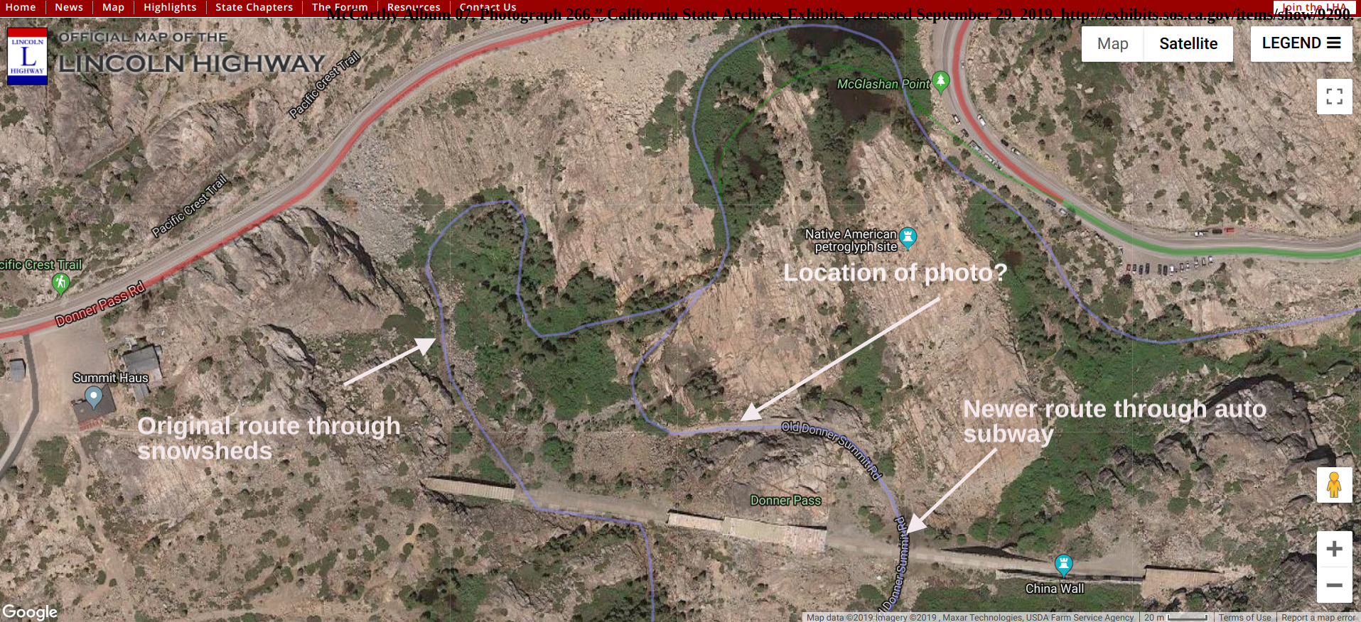
The following map is a close up in satellite view. As you can see, the old road, red line, emerged onto the area that is present-day Highway 50. The question I have is, did the old way follow the green path down Strawberry Lane, crossing the river further downstream, or did it follow the pink line, crossing the river before the Strawberry House?

Close up of the different roads.

Close up of the different roads.

The photograph below shows a series of small cabins that were part of the Strawberry Resort during the Lincoln Highway era. Where were these cabins located along the road?

1920 Mc Carthy Photograph showing the cabins at Strawberry. Photo from: Calif. State Archives.

1920 Mc Carthy Photograph showing the cabins at Strawberry. Photo from: Calif. State Archives.

The photograph below is from 1903, showing a stagecoach leaving Strawberry. Notice how close Lovers Leap is in the background. Where was this located along the old road? Where was the original Strawberry House? The only clues I have are the new 1939 building was built closer to the new highway, at least a few hundred yards west of the original.

1903 photograph shows an open stagecoach with "Lake Tahoe Placerville" printed on the side, men and boy standing in front, barn or stable in background. Photo from: California State Archives

1903 photograph shows an open stagecoach with "Lake Tahoe Placerville" printed on the side, men and boy standing in front, barn or stable in background. Photo from: California State Archives

Auburn railroad crossing gets a new addition

The bridge is newer, but there has been a railroad over-crossing at El Dorado Road and Highway 49/193 in Auburn since 1905! Monica and I spent part of Tuesday painting the Lincoln Highway "L" on both ends of the span. The California Chapter of The Lincoln Highway Association (CLHA) uses signs and these stencils to mark the path of the old road, just as it would have been done from 1914 to 1928.

Monica stands in front of the recently completed “L” at the east side of the under-pass.

Monica stands in front of the recently completed “L” at the east side of the under-pass.

The CLHA has recently painted other railroads over-crossings, including the 1910 Newcastle tunnel on Old State Highway, two crossings in Applegate, one each at Heather Glen, Weimar, Secret Town, and the South Yuba Bridge at Cisco Grove, and finally one at Donner Summit. The Stenciled "L's" goes along with our Historic Lincoln Highway signs you will notice along the old road. Be sure to check them out when you drive by.

The same over-crossing, looking west. The Wagon is headed up Lincoln Way.

The same over-crossing, looking west. The Wagon is headed up Lincoln Way.

Middle support facing east.

Middle support facing east.

The following picture shows the same underpass but looking north from the west side.

“DANGER SLOWDOWN TOOT. TOOT.”

Where is the driver?

Where is the driver?

How can you find and follow the Lincoln Highway? Besides the signs and stencils the Lincoln Highway Association publishes a Google interactive map showing the route accross the country. Just keep zooming in until your at the area your interested in. Map can be found here.

Lincoln Highway 106 years old today!

October 31, 1913, 106 years ago today, the Lincoln Highway was formally dedicated. It was America’s first transcontinental highway, stitching together a single route across the country from hundreds of local roads. Before the Lincoln Highway, if you wanted to cross the US, you were on your own. Now, with this new highway, you could follow the red, white and blue, signs with the big “L” from Times Square in New York to the Palace of the Legion of Honor in San Francisco.

Looks like these guys had to dig the hole!

Looks like these guys had to dig the hole!

Eventually, the Lincoln Highway was replaced with a numbered highway system in 1926, with Highway 30 covering much of the route, and other number highways, like 50 and 40, replacing it in California. The Lincoln Highway Association, which was created to promote the idea of the road, now performed its final act on September 1st, 1928. Boy Scouts across the nation erected 2,400 concrete markers at sites along the route to officially mark and dedicate it to the memory of Abraham Lincoln. At the same time, 4000 metal signs were placed to guide the motorist.

A replica marker at Donner Summit.

A replica marker at Donner Summit.

“These markers were placed on the outer edge of the right of way at major and minor crossroads, and at reassuring intervals along with uninterrupted segments. Each particular post carried the Lincoln Highway insignia and directional arrow, as well as a bronze medallion with Lincoln's bust stating, 'This Highway Dedicated to Abraham Lincoln.'"

Trout Creek bridge date

While visiting the Lincoln Highway in South Lake Tahoe we stopped to see the Trout Creek bridge. Located just off Pioneer and Golden Bear Trail sit’s a lonely bridge that serves no purpose other than to arouse our curiosity.

Trout Creek bridge looking west.

Trout Creek bridge looking west.

You must stop and park on Golden Bear Trail to see the bridge. There is also a Trails West “T” at the corner marker telling us this route was also the old Johnson’s Cut-Off Trail from the 1850’s. The bridge use to cross Trout Creek, but the creek has been diveretd and now passes under the curent bridge on Pioneer Trail.

Trout Creek use to pass under here.

Trout Creek use to pass under here.

While checking out the mortor between the stones we found some writing which told us the mortor was applied in 1907! There are also some other letters, “I C L A M”? Perhaps those are the masons initials? We don’t know.