The Lincoln Highway Association map shows us the old route to the best of our knowledge. The Lincoln Highway Association cartographers take great pains to make sure the road is marked correctly. However, due to time, some of the old routes or alignments remain unmapped or “lost.” Monica and I enjoy following the map and trying to find some of these lost alignments so we can update the map as needed.
Map of location.
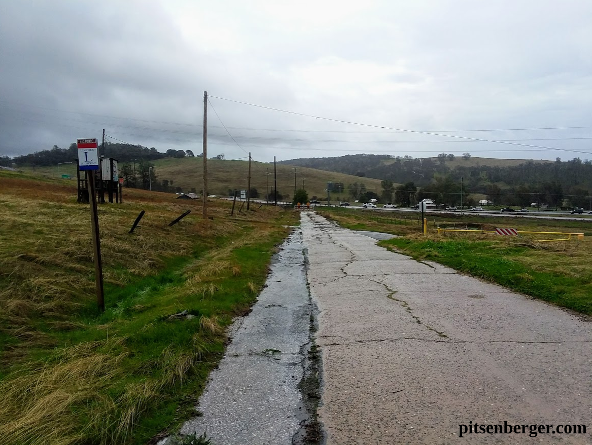
Following the southern route of the Lincoln Highway, we leave Placerville and head east following the map through Pollock Pines and towards Fresh Pond. Just past Fresh Pond, we see that the route went left and follows what is now known as Dubasary Lane towards the Forest Service Station.
The “C” Monument facing Dubasary Lane. No “C” visible.
Just before the Forest Service Station, we found a "C" monument, which is a state right of way marker used from 1913 to 1933. The whole concrete column measures 6"x6"x42", with only 6" to 18" of the concrete post visible at the surface. These right of way markers would be placed about 50' from the centerline of the highway, with the "C," which stands for California, facing the road. What was interesting about this monument was the "C" was facing away from Dubasary Lane, which was assumed to be the original route of the Lincoln Highway. What this marker was indicating the road was actually on the other side of a metal fence!
What must have happened was in the construction of the present Highway 50 expressway part of the old highway was destroyed, with the now named Dubasary Lane being re-aligned to bring it away from the cliff with the construction of the freeway. This small section of the Lincoln Highway would have been forgotten if it wasn’t for a tell-tale “C” marker facing the “wrong way.”
It was hard to get this photo as the “C” portion of the monument was right against the fence.
The official map of the Lincoln Highway Association will be changed to reflect this discovery. There are more of these "lost alignments" along the old road, especially here in the mountains. Keep your eye's open and the official Lincoln Highway Map nearby, and you might find an old alignment, long forgotten.
Another reason we love to follow the Lincoln Highway is it's your "roadbed to adventure and history." The old road so often follows even older routes, like Johnson's Cut-Off Trail, which has this Trails West "T" marker across the street from the "C" Monument. Quite a bit of history at this location. Check it out next time you're headed uphill on the Lincoln Highway in El Dorado County.


