Monica and I have a keen interest in California history, which takes us all over northern California, including our favorites places in the high country of the Sierra. One such place in The Donner Summit Historical Society located in Soda Springs, a mile or so from Donner Summit. This little museum has more exciting stuff from the area than even the state museum by Donner Lake. Unfortunately, the state museum, like the one in Coloma, has turned into what we call a "push button" museum. Clean, neat, and "push the button" for more info. A bit too sterile for us. Contrast that with Donner Summit Historical Society Museum, which is hands-on, and has more artifacts to look at and touch that the state-run museum.

Monica and the inside of the tightly packed museum.
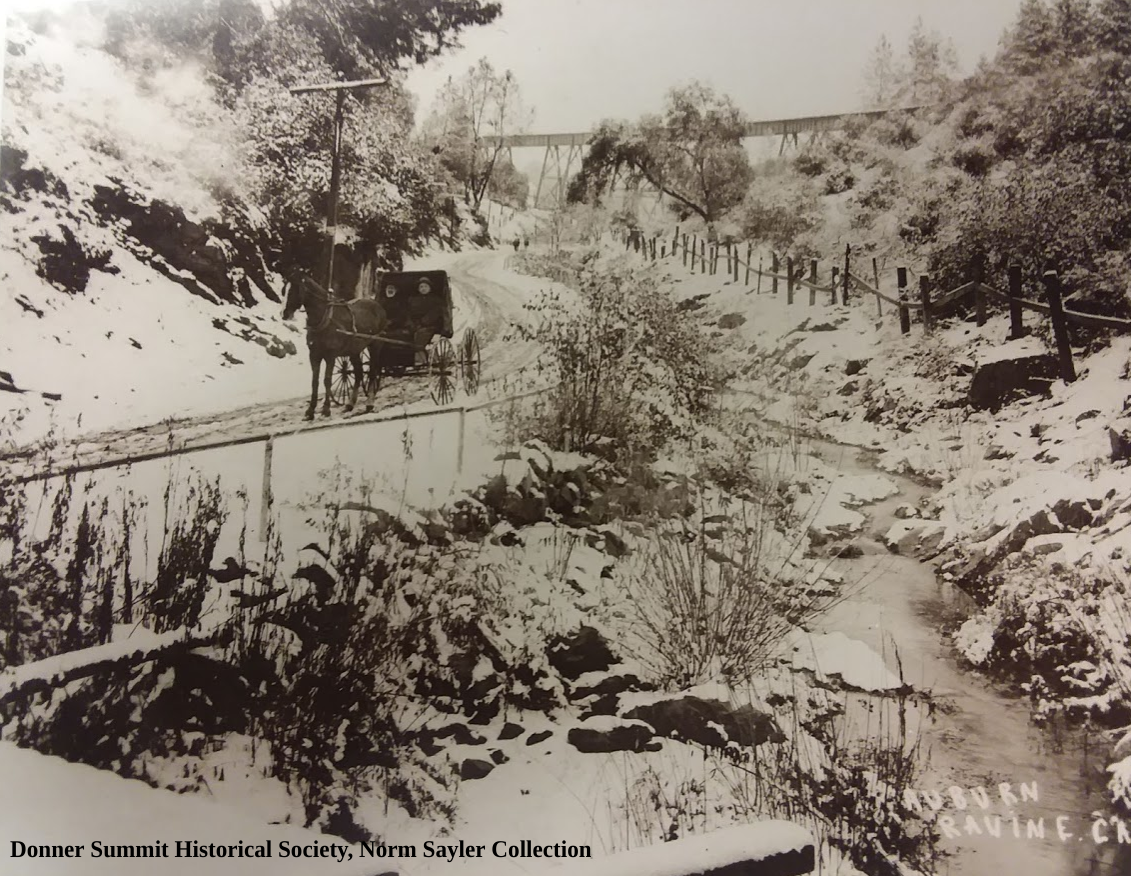
Most important is the man running it, Norm Sayler. Norm has lived most of his life at Donner Summit, where for 46 years he ran Donner Summit Ski Ranch. No one I have met has a more excellent knowledge of the summit areas history and photographs to back it up. Norm's Ski Ranch was the first ski resort to allow snowboarders on its mountain. Snowboards with autographs of the leaders of the sport, thanking Norm, hang in the museum. Norm also was instrumental in saving the historic Rainbow Bridge from destruction when short-sighted supervisors in Nevada County wanted to tear it down! Norm and the Historical Society were also instrumental in having Highway 40 declared a California Historical Highway, giving the old road some protection.

Trey talking to Norm who sit’s in his “barber chair” at the museum.,

20 mile museum sign
The Museum and historical society have hikes around the summit where the history of this area is discussed and marveled at. The Society has also erected informative signs all around the summit area, which they describe as the "20-mile museum". Pick up a brochure at the museum to follow along. Check out their webpage, and sign up to receive the newsletter, "The Donner Summit Heirloom," which has stories and photos you have likely never seen or heard before.
Donner Summit Historical Society museum is located at Donner Pass Road and Soda Springs Road, in the town of Soda Springs.